 Intranet


A Geophysical Campaign in Albania to Decipher Natural Hydrogen Production

Probing a Complex Natural System
The mission aimed to produce a detailed image of Bulqizë’s subsurface using a combination of complementary geophysical methods: passive seismics, magnetotellurics, gravimetry, and magnetometry. This integrated approach helps map the massif’s depth, heterogeneities, zones of serpentinization, and fracture networks that may guide hydrogen migration.
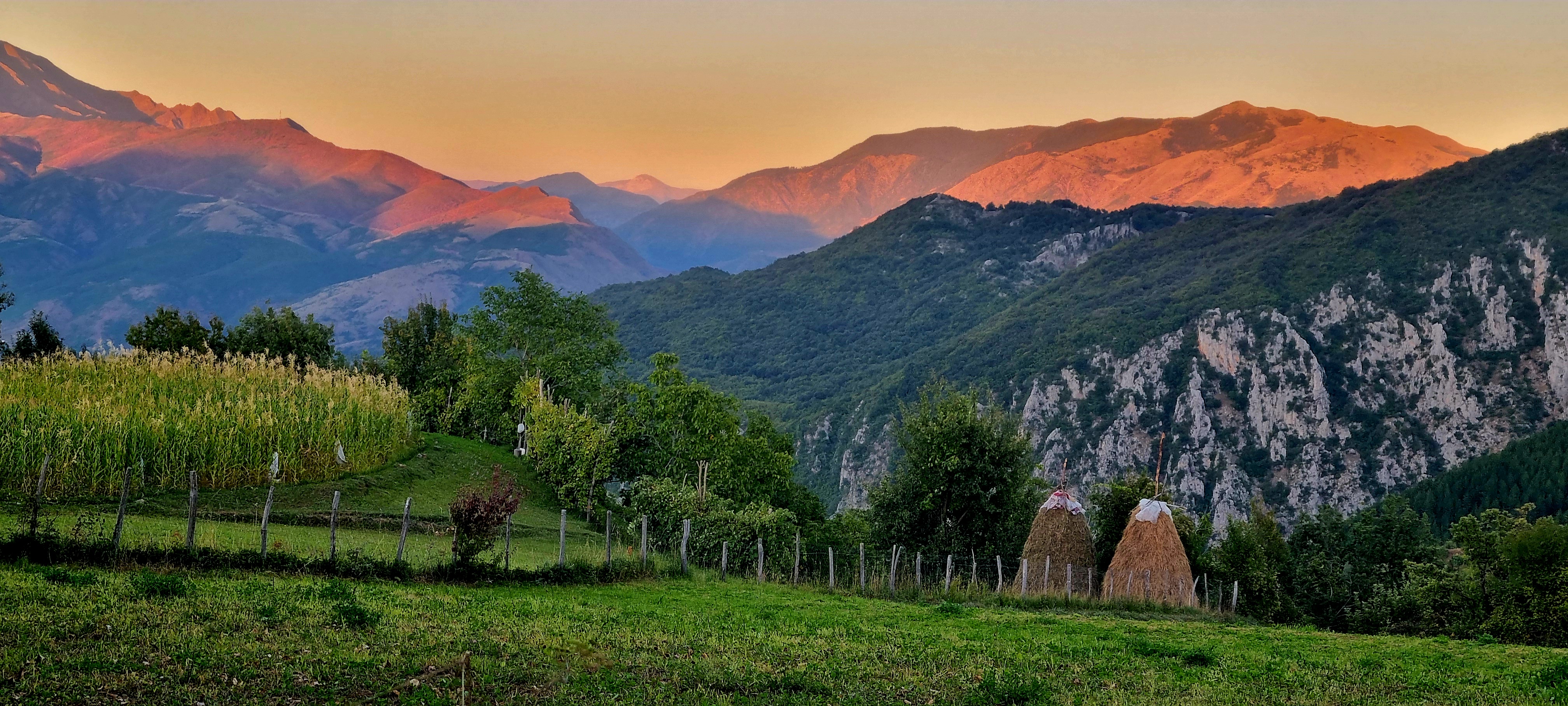
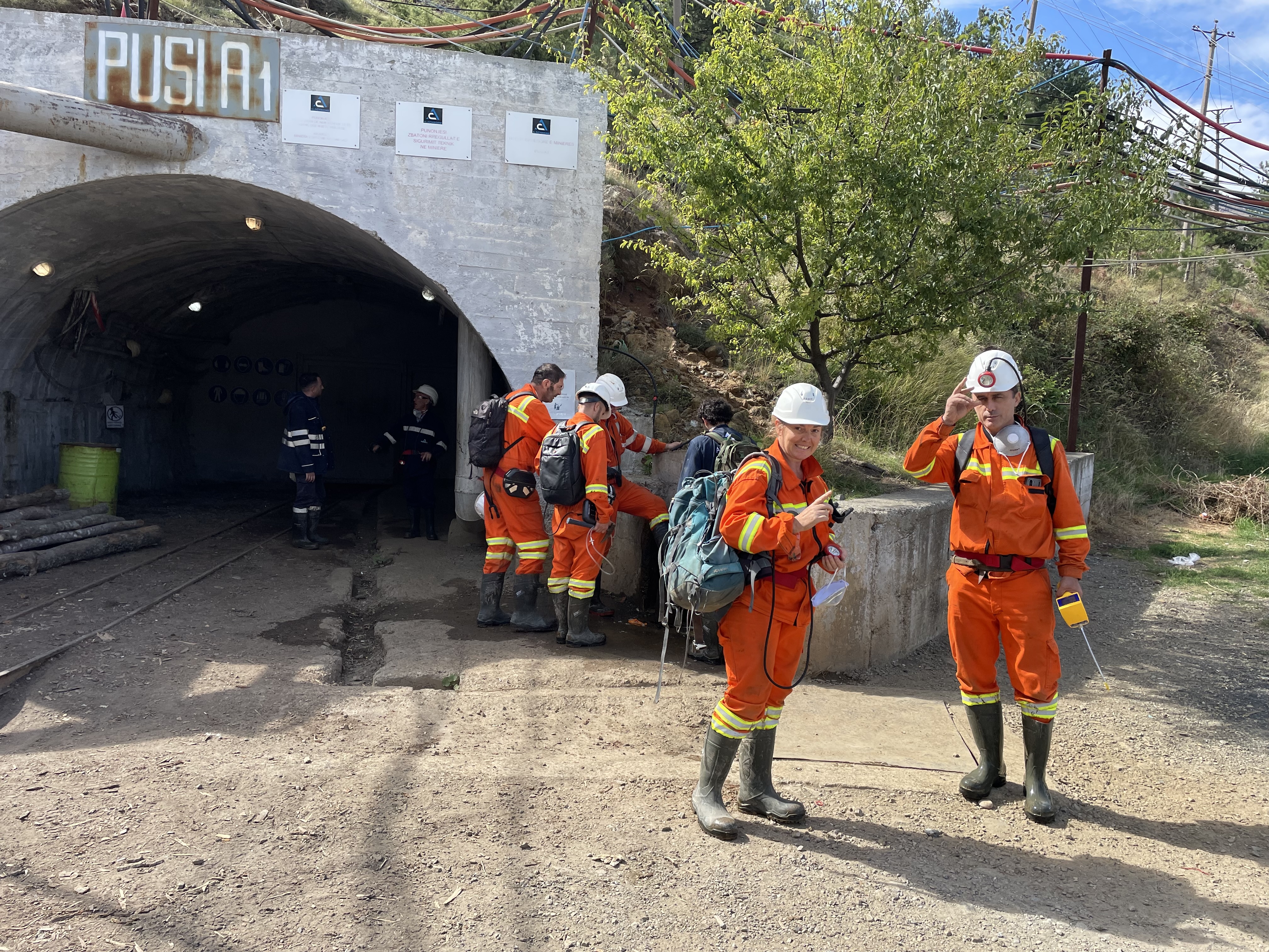
Bulqizë is exceptional because hydrogen is observed from the surface down to more than 1,000 meters inside the local mine, offering a unique natural laboratory. Research by ISTerre over the past five years has already produced around twenty publications, including five specifically on this site and one in Science. The 2025 campaign consolidates these efforts and aims to develop an “exploration workflow” that can later be applied to other regions.

A Unique Laboratory in Europe
The Albanian ophiolite provides a rare opportunity to study active serpentinization, a key geological process for natural hydrogen production. Documenting the system fully is essential to distinguish active from fossilized zones, identify potential reservoir fractures, and understand fluid pathways in the subsurface.
Previous geochemical studies have highlighted the site’s complexity and richness. The geophysical campaign complements these findings by revealing what happens at depth, confirming hypotheses formulated over the past years.
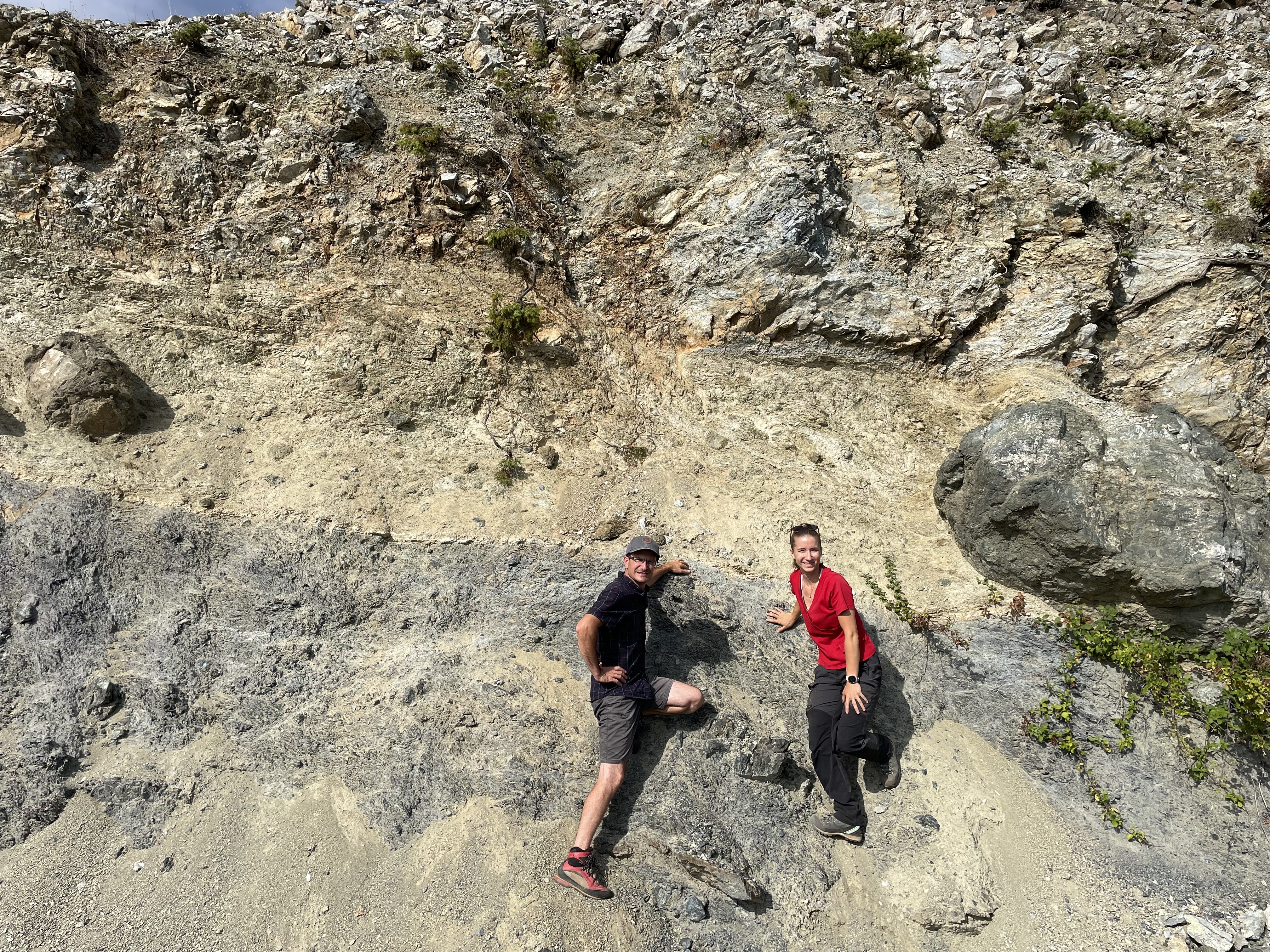
Logistical Challenges in the Field
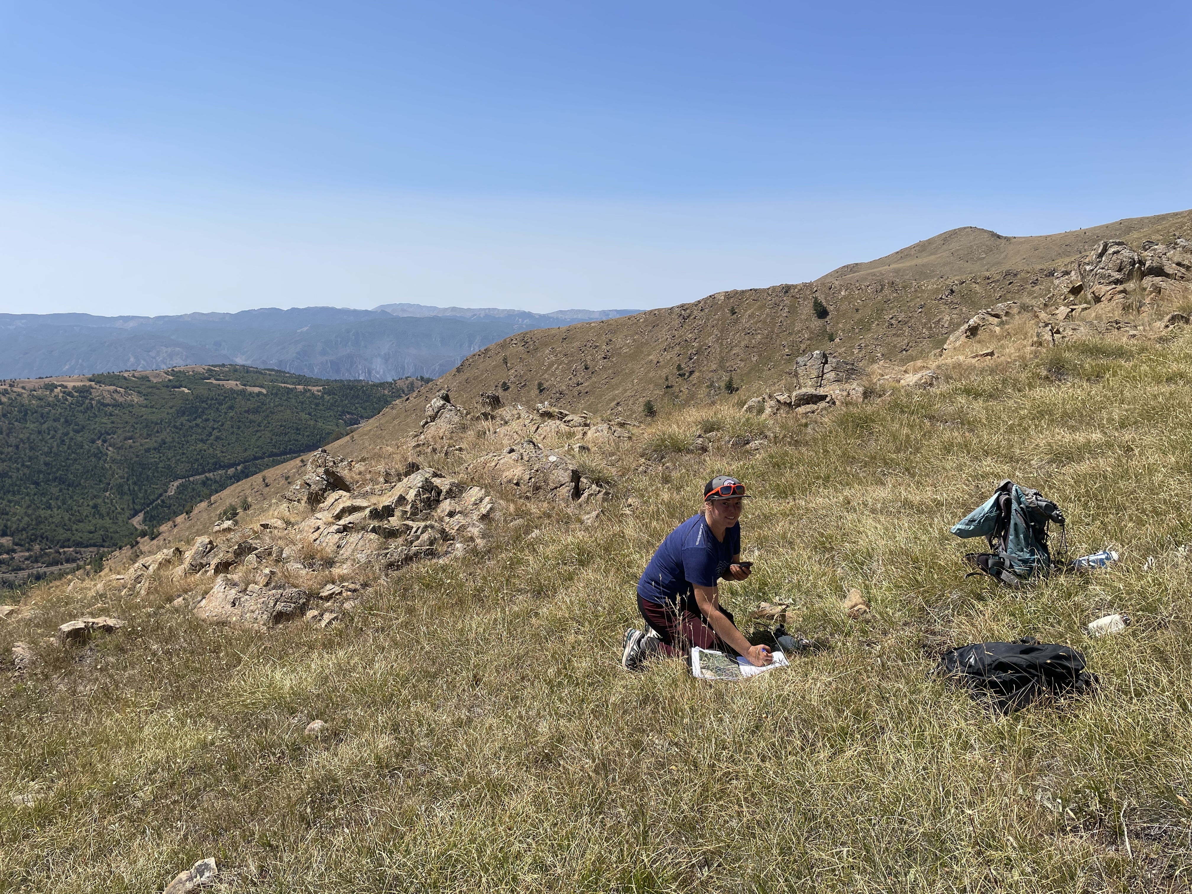
Working in the mountains of Bulqizë required meticulous planning. Transporting 1.5 tons of equipment, navigating customs, and coordinating five vehicles and ten people over rugged terrain presented major challenges. Some areas were inaccessible, forcing daily adjustments to deployment plans..
Weather conditions added another layer of difficulty: heat and sudden storms during installation, followed by five days of continuous rain during instrument recovery, with roads washed out and sudden streams forming. Despite these obstacles, all data were successfully retrieved.


International Collaboration at the Core
The campaign brought together several institutions: ISTerre, the University of Helsinki, the Polytechnic University of Tirana (UPT), and the Institute of Geosciences of Albania (IGEO).
Albanian partners were crucial, providing vehicles, helping install instruments on private land, and supporting teams in hard-to-reach areas. Their local knowledge allowed rapid deployment of sensors. Equipment support from the University of Helsinki, along with technical and financial support from EPOS France and OSUG through the H2Explor project, was essential to the mission’s success.
A Unique Dataset
At the end of the mission, 199 short-period seismic sensors, 19 broadband stations, and 64 gravity points had been deployed and successfully recovered. These recordings will enable the team to develop a seismic velocity model using ambient noise tomography, detect any local seismicity associated with serpentinization, construct a Vp/Vs model through local earthquake tomography, and estimate density variations from the gravity measurements.
Prochaines étapes
A magnetometry campaign is planned to complete the dataset, targeting areas potentially rich in magnetite, an important marker of active serpentinization. Ultimately, integrating all the data will provide a multiphysics image of the Bulqizë ophiolite, improving understanding of natural hydrogen production and storage, and guiding exploration strategies for other sites worldwide.
Learn More
🎥 Vidéo : Découverte d’un important réservoir d’hydrogène en Albanie
Local contact scientist
– Laurent Truche, Professeur Université Grenoble Alpes – laboratoire ISTerre
Updated on 2 December 2025